|
|
Rajasthan
pronunciation is the largest state of the Republic of India in terms
of area. It borders Pakistan to the west, Gujarat to the southwest, Madhya
Pradesh to the southeast, Uttar Pradesh and Haryana to the northeast and
Punjab to the north. Rajasthan covers an area of 342,239 km² (132,139
mi²).
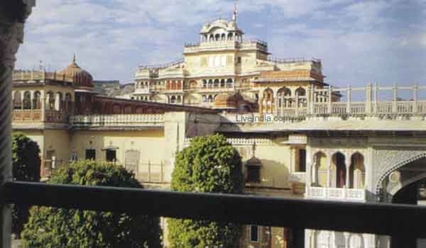
The state capital is Jaipur.
Geographical features include the Thar Desert in western Rajasthan and
the termination of the Ghaggar River where lies oldest civilization of
Kalibanga. One of the world's oldest mountain ranges, the Aravalli Range,
cradles the only hill station of Rajasthan, Mount Abu, and its world famous
Dilwara Temples. Eastern Rajasthan has two national tiger reserves, Ranthambore
and Sariska, as well as Keoladeo National Park near Bharatpur, famous for
its bird life.
The Aravali Range runs
across the state from the southwest peak Guru Shikhar (Mount Abu), which
is 1,722 m in height to Khetri in the northeast. This divides the state
into 60% in the northwest of the lines and 40% in the southeast. The northwest
tract is sandy and unproductive with little water but improves gradually
from desert land in the far west and northwest to comparatively fertile
and habitable land towards the east. The area includes the Thar (Great
Indian) Desert.
The south-eastern area,
higher in elevation (100 to 350 m above sea level) and more fertile, has
a very diversified topography. in the south lies the hilly tract of Mewar.
In the southeast, a large area of the districts of Kota and Bundi forms
a tableland and to the northeast of these districts is a rugged region
(badlands) following the line of the Chambal River. Farther north the country
levels out; the flat plains of the northeastern Bharatpur district are
part of the alluvial basin of the Yamuna River. |